
BEAM · Field Navigation Instrument
Project description
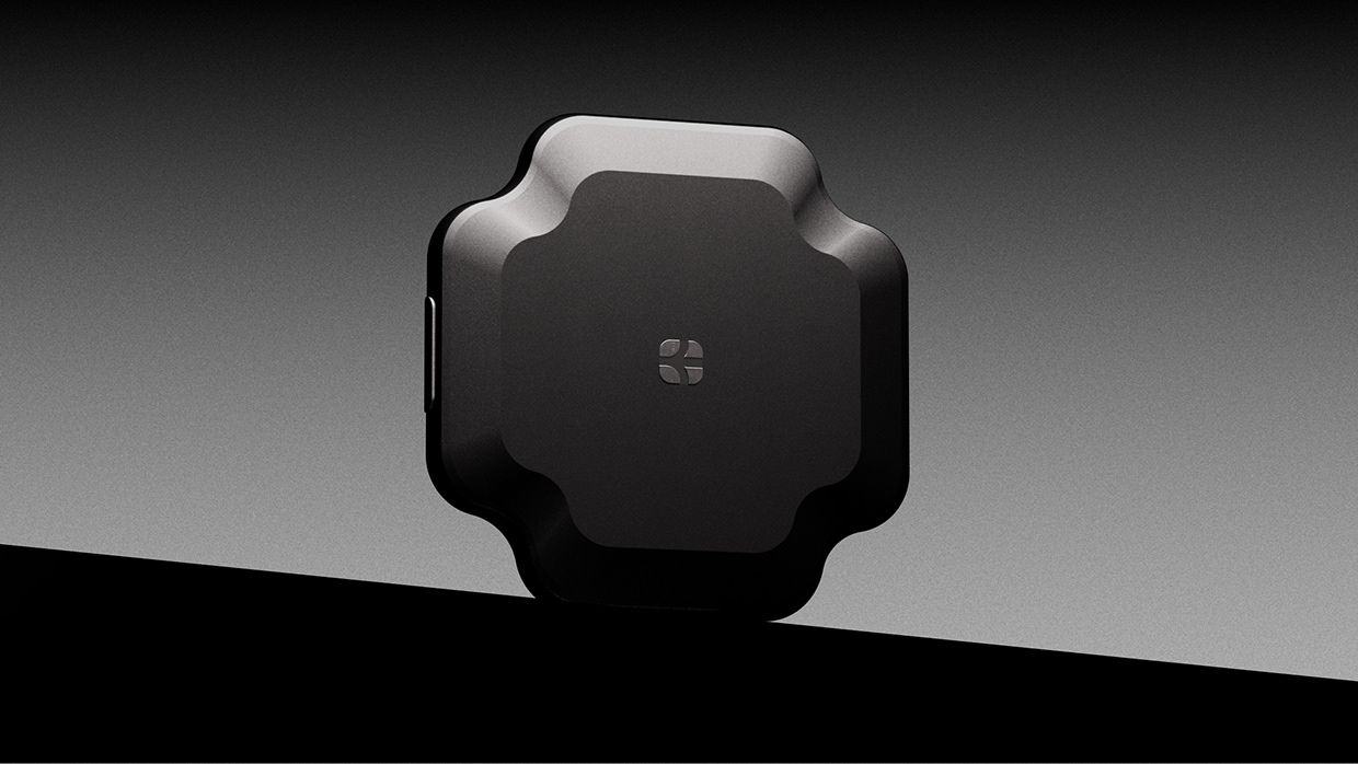
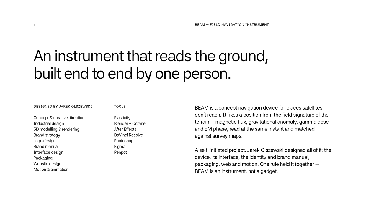
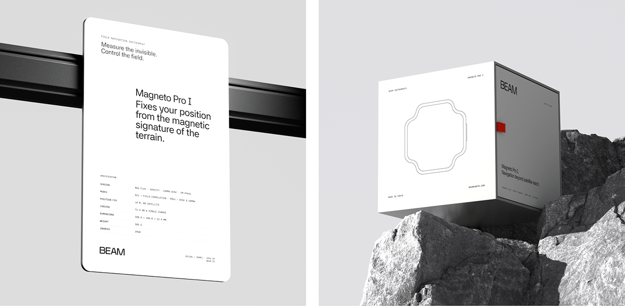
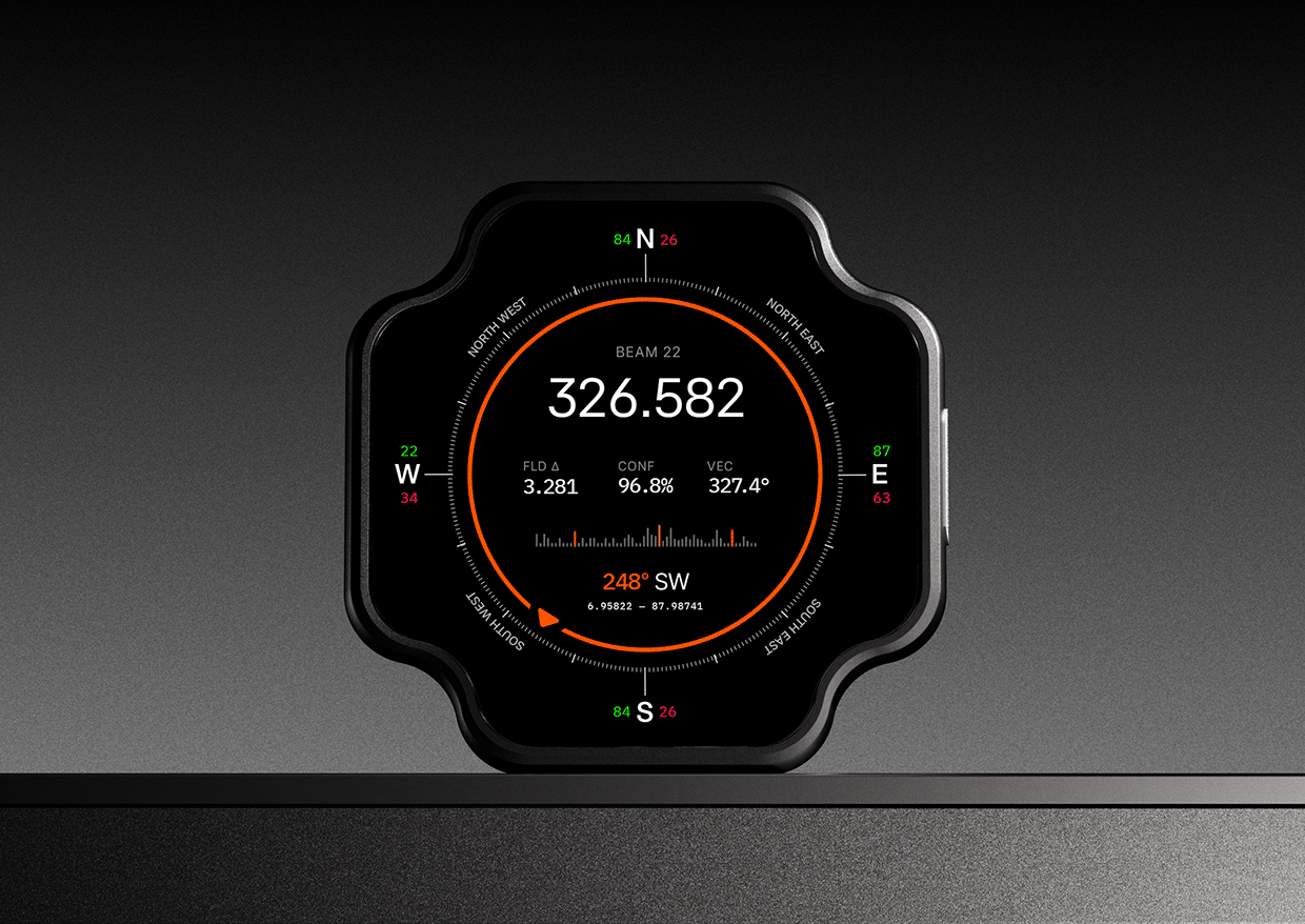
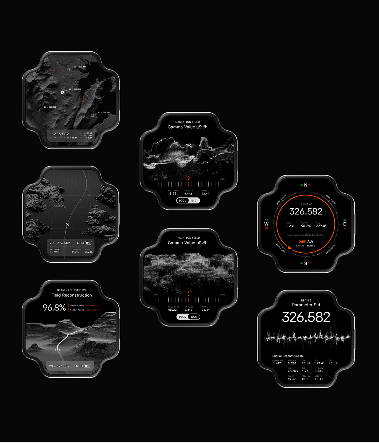
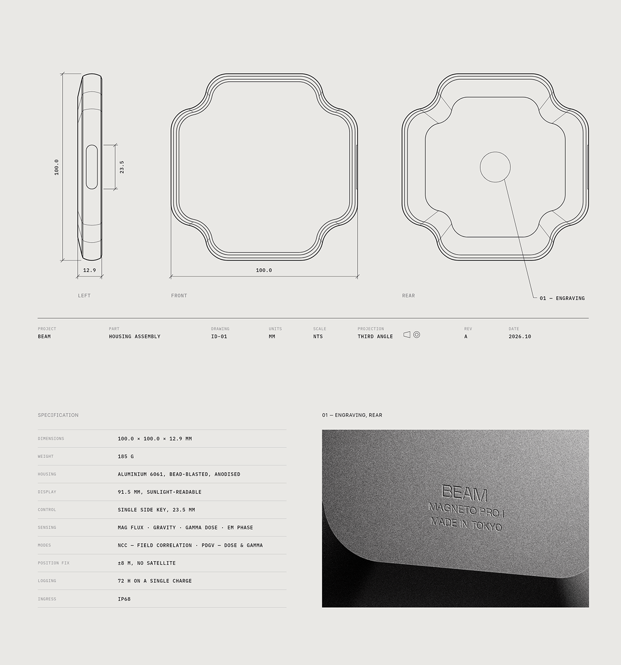
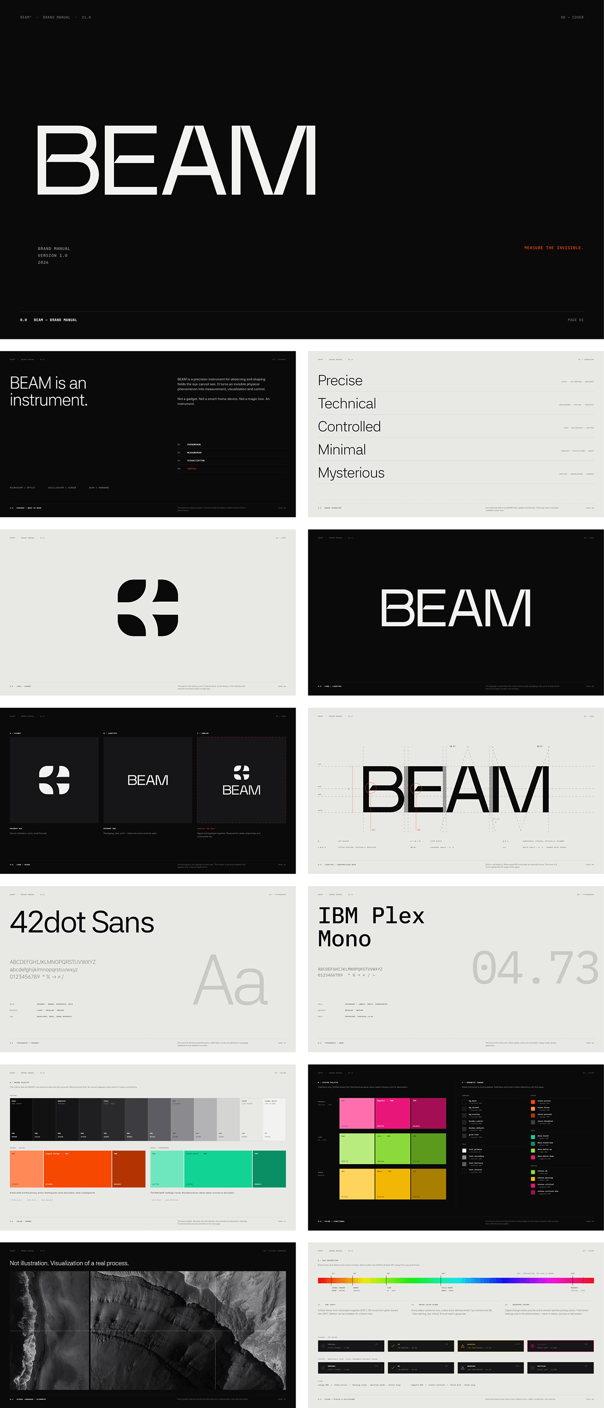
BEAM is a concept navigation device for places satellites don’t reach. It fixes a position from the field signature of the terrain — magnetic flux, gravitational anomaly, gamma dose and EM phase, read at the same instant and matched against survey maps. A self-initiated project, designed end to end by one person: the device, its interface, the identity and brand manual, packaging, web and motion. https://www.beamearth.com/
VIDEO
VIDEO


VIDEO

VIDEO






VIDEO
Support this project
Be the first to upvote